01 / PUBLIC OBSERVATIONS
Put a place in context.
Navigate the globe and inspect earthquake reports worldwide, plus selected New England water and weather observations. Keep report time, units, source and freshness in view.
Explore the map ↗PUBLIC OBSERVATIONS · INTERACTIVE SCENARIOS
A spatial workspace for infrastructure and GIS teams. Explore dated environmental reports, interact with fictional 3D sites, and take the scenario with you through a brief or API.
No account or card required · Free browser exploration has no five-minute cutoff · Paid services are not released
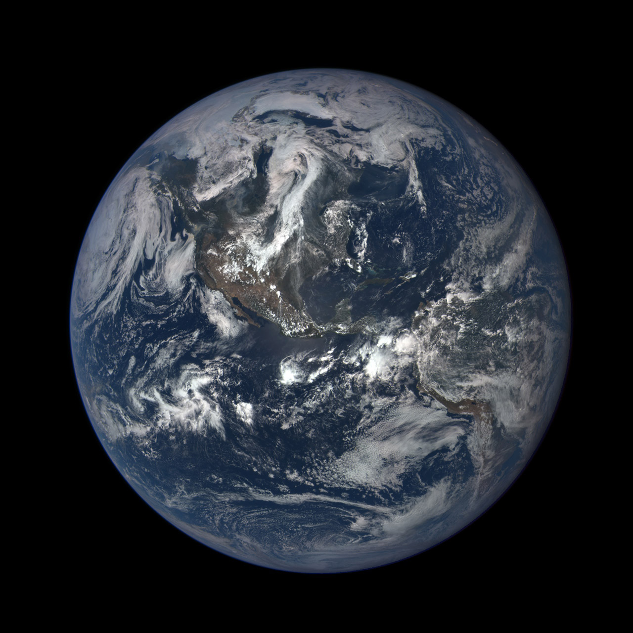
NASA imagery · July 6, 2015
Not an app screenshot or live feed.
FREE TO USE NOW
Explore in your browser, inspect the evidence, or connect a server-side workflow. These working public tools are free previews—not a trial of the unreleased paid app. Source coverage and API rate limits apply; availability is not guaranteed.
01 / PUBLIC OBSERVATIONS
Navigate the globe and inspect earthquake reports worldwide, plus selected New England water and weather observations. Keep report time, units, source and freshness in view.
Explore the map ↗02 / FICTIONAL LIVING TWINS
Change conditions in three authored 3D sites, follow simulated movement and inspect assets. Export or copy a JSON scenario brief. These are fictional examples, not verified buildings or forecasts.
Try a 3D scenario ↗03 / DEVELOPERS & AGENTS
Discover four public observation collections, filter by area or report time, and read bounded GeoJSON pages. Use the separate fictional-scenario API for replay. No API key required.
Read the API guide ↗Need saved workflows, team collaboration or more API capacity? See the planned paid value and what is not available yet ↗.
BUILT AROUND A REAL QUESTION
Start with a place and a purpose. Explore the sources that give it context. Test the interaction in three fictional Living Twins: energy campus, adaptive waterfront and mobility hub. Scenario updates are simulated; public observations stay separate.
Look at roads, environmental conditions and public infrastructure around a project.
Explore the workflow ↗02 / TRANSPORTATIONExplore published traffic, transit and transport data alongside geography and weather.
Explore the workflow ↗03 / RESEARCHCompare public datasets with visible source, freshness and coverage information.
Explore the workflow ↗04 / SPATIAL EXPLORATIONExplore a native Mac workspace and the developing Apple Vision Pro experience.
Explore the workflow ↗BIGBROTHER BY BARICH HOLDING
For GIS and infrastructure teams comparing public environmental observations. Enquiries are open; the commercial subscription and App Store release are not available yet.